Maine is the final state on the Appalachian Trail and is 282 miles long.
Here's a guide to the Maine Appalachian Trail with all you need to know.
Overview of the AT in Maine
Don’t underestimate this section of the AT; it is arguably the most difficult state along the trail and takes nearly a month to complete.
The elevation changes in Maine are drastic. The trail is not maintained as frequently as in the other states, there is more distance between resupplies, and there are less people out hiking.
We wouldn’t recommend the Maine section for a first time backpacker. It’s best to get a few weeks of backpacking experience before taking on this state.
Typical Maine AT Itinerary
Getting to the Trail: The Maine section of the Appalachian Trail begins near the town of Gorham, New Hampshire and ends near the town of Millinocket, Maine. There is no convenient public transportation option between these two towns.
You can fly into Boston’s airport and take a bus to the town of Gorham, New Hampshire to begin your hike.
Upon completion of Maine, we recommend renting a car to get back to the airport.
Day 0: Gorham to Maine (16 miles)
Day 1: NH/ ME Border to Speck Pond Shelter & Campsite (10 miles)
Day 2: Speck Pond Shelter & Campsite to Frye Notch Lean-To (10.4 miles)
Day 3: Frye Notch Lean-To to Hall Mountain Lean-To (10.5 miles)
Day 4: Hall Mountain Lean-To to Bemis Mountain Lean-To (11.1 miles)
Day 5: Bemis Mountain Lean-To to Sabbath Day Pond Lean-To (10.0 miles)
Day 6: Sabbath Day Pond Lean-To to Rangeley, Maine (9.4 miles)
Day 7: Rangeley, Maine to Poplar Ridge Lean-To (10.7 miles)
Day 8: Poplar Ridge Lean-To to South Branch Carrabassett River (13.1 miles)
Day 9: South Branch Carrabassett River to Stratton, Maine (8.4 miles)
Day 10: Stratton, Maine to Safford Notch Campsite (10.4 miles)
Day 11: Safford Notch Campsite West Carry Pond Lean-To (12.6 miles)
Day 12: West Carry Pond Lean-To to Piece Pond Lean-To (10.0 miles)
Day 13: Piece Pond Lean-To to Pleasant Pond Lean-To (9.7 miles)
Day 14: Pleasant Pond Lean-To to Moxie Bald Mountain Lean-To (13.1 miles)
Day 15: Moxie Bald Mountain Lean-To to Horseshoe Canyon Lean-To (8.9 miles)
Day 16: Horseshoe Canyon Lean-To to Monson, Maine (9 miles)
Day 17: Monson, Maine to Wilson Valley Lean-To (10.4 miles)
Day 18: Wilson Valley Lean-To to Chairback Gap Lean-To (15.6 miles)
Day 19: Chairback Gap Lean-To to Sidney Tappan Campsite (11.7 miles)
Day 20: Sidney Tappan Campsite to East Branch Lean-To (9 miles)
Day 21: East Branch Lean-To to Antlers Campsite (16 miles)
Day 22: Antlers Campsite to Wadleigh Stream Lean-To (13.6 miles)
Day 23: Wadleigh Stream Campsite to Hurd Brook Lean-To (19.6 miles)
Day 24: Hurd Brook Lean-To the Birches Lean-Tos & Campground (13.4 miles)
Day 25: Birches Lean-Tos & Campground to Mount Katahdin
Important Logistical Details
Guides & Accommodation
Guides: The vast majority of hikers do not hire guides for the Appalachian Trail. It is possible to find trekking agencies that will take you on a guided hike. Most of the Appalachian Trail is clearly marked, and with proper planning and preparation hikers can go alone. However, we do not recommend Maine for first time, solo hikers.
Accommodation: Hostels and motels can be found in the towns of Grafton Notch, Bethel, Andover, Rangeley, Stratton, Caratunk, Monson, Greenville, White House Landing, and Millinocket.
Best Time to Go & Difficulty
Best Time: The best time to hike in Maine is summer, late spring, and early autumn. September is a good time to go for hikers who want to see the leaves changing.
Difficulty: This section of trail is strenuous. Be prepared for lots of elevation change, long stretches between resupply, less trail towns and road crossings, frequent stream crossings, and cold weather. Plan on hiking less miles per day than what would be typical for you.
Costs & Permits
Permits: There are no permits required to hike the Maine section of the Appalachian Trail.
Cost of Hiking AT in Maine: There are not as many opportunities to go into trail towns as in other states, so the overall on trail cost will be lower. There just aren’t as many opportunities to spend money.
Benefits & Challenges of Hiking the Maine Section
Benefits
Hikers can really get away from the crowds in Maine. There are longer stretches of wilderness than anywhere else along the Appalachian Trail. Because of its difficulty, this is not as popular of a section to hike.
Additionally, the majority of hopeful thru-hikers have quit their hikes before reaching Maine. Overall, there’s just not a lot of people out in the vast expanse of Maine wilderness.
There are several famous, must-experience spots in Maine. Perhaps the most well known is the 100 Mile Wilderness. As the name implies, this is 100 miles with no towns or resupply points.
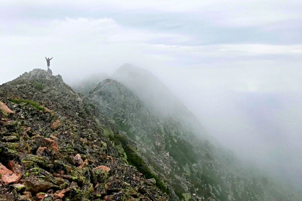
There is also Mahoosuc Notch, known to be the most difficult mile of the Appalachian Trail. Mahoosuc Notch is a valley filled with boulders from a rock slide that hikers must crawl over and under.
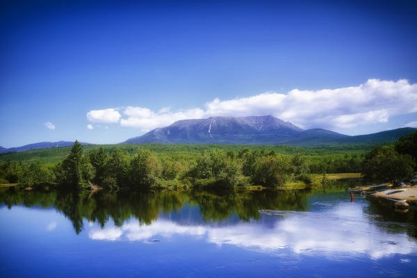
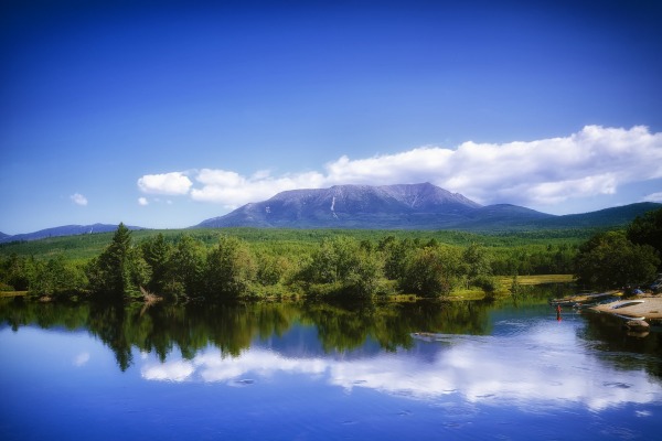
Then there’s Mount Katahdin, the final and hardest climb on the trail.
Challenges
This is a strenuous and difficult section of trail. Your pace will be slower than what is typical because of the significant elevation changes.
Due to its remoteness, the trail is not maintained at the same standard as other sections. There are no bridges over streams; hikers must ford them. There are bogs that must be waded through, and some sections have limited trail markers.
Maine can be a challenge in terms of resupplies. There are long stretches between towns, the longest of which is 100 miles.
Furthermore, some of the towns don’t have full grocery stores. Hikers must plan ahead and mail resupplies to themselves or deal with eating less than ideal meals.
Regional Map of the Maine AT
The Appalachian Trail in Maine is 2,168 miles long and runs along the Appalachian Mountains in North America: from Georgia to Maine.
The Maine section of the trail is 282 mile long and is more rugged than any of the other sections.
Pro Tip
Get your gear in the pack and go for a hike with it prior to getting to Maine. Ensure that you have it as light as possible, ideally under 10kg.
See our Appalachian trekking gear list here it should help you select only the must-have items!
Training For The Trek
The best way to learn how far the AT in Maine USA is going to test your physical ability, is to go on some day-long hikes in your own country.
This will also allow you to break in your hiking shoes and increase your fitness level.
For your exercise routine, we recommend building a combination of hiking, cycling, swimming or rowing to get your heart rate up three times a week.
It is a good idea to build your endurance rather than run at a high intensity as this section of AT is quite strenuous. So if you are planning on jogging, running 5km about 2-3 times a week at a consistent pace should be the intensity that you are aiming for.
Recommended Guidebook
The Appalachian Trail Conservancy and the Appalachian Long Distance Hikers Association work together every year to create the most up-to-date guide on the Appalachian Trail. It is called Appalachian Trail Thru-Hiker's Companion.
In 2019 they included 50 updated maps, professionally crafted elevation profiles, and comprehensive tables for more easy access to the information while trekking.
It works both for thru-hikers and those who only want to trek a section or two.

Browse more Appalachian hikes and guides
See our complete guide to the Appalachian trail, or visit our section guides.


Hi guys,
I am just coming back from an AT section into Pennsylvania. We are a group of section hikers which started in the South in 2016. Now, we are halfway. Taken the age of the participants ( 55-80), it is very doubtful that we will finish. Hence, I (63) had the idea to start from the North. However, I don’t want to do it alone. The hike should be in 2024. I am flexible in time. Our group always walks 12/13 days and covers around 150 miles per section. Realizing that Maine covers a difficult section, the time can be extended. Please let me know if you can assist me.
Thanks and regards,
Fred
Hi Fred, thanks for getting in touch. We’re just a free information resource and don’t arrange AT hikes. You might have luck finding a guide here: https://www.appalachiantrailcafe.net/index.php/BoardList/