Hiking through breathtaking landscapes requires more than just good gear and a solid route - great hiking apps can also be a gamechanger.
Having access to updated maps, emergency contacts, and even weather updates can make all the difference in your journey.
Here are my picks for the best hiking apps.
9 Best Hiking Apps You Must Have
Here’s my list of the best hiking apps to use.
Quick note before we proceed: If you plan to use any of these apps on hikes abroad, it’s essential to ensure you have reliable connectivity.
When I was hiking in British Columbia this summer, I used Saily's eSim for Canada (Saily cover most countries) that worked great, keeping me connected even in remote areas.
With the right app, you’ll be able to plan your route, monitor your progress, and make the most of your adventure.
Ready? Let’s roll.
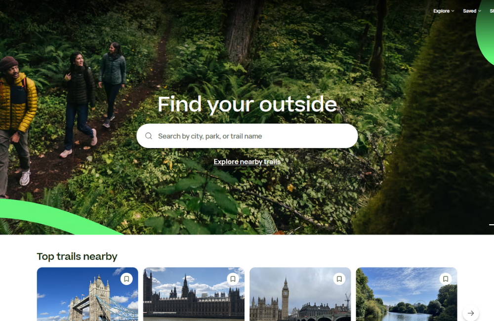
1. AllTrails
- Overview: A well-loved app with extensive trail maps, user reviews, and route tracking.
- Features: Trail difficulty filters, real-time GPS tracking, and offline maps.
- Best For: Beginners and seasoned hikers alike who want access to a comprehensive trail database.
AllTrails is the ultimate hiking app for anyone who loves exploring trails without the guesswork.
Its vast trail database covers everything from easy walks to tough treks, making it like having a guide in your pocket.
User reviews give you insights on each trail, from river crossings to sunset spots.
Real-time GPS tracking and offline maps are invaluable, especially when you're in areas where signal is scarce.
Whether it’s a weekend walk or a multi-day adventure, AllTrails has you covered.
My pro tip: Looking for more hiking technology to make your next adventure the best? Check out Mark’s guide to the best portable power stations, and you'll never struggle with flat batteries again.
Next, let’s look at another epic mapping app for hiking that’s sure to come in handy.
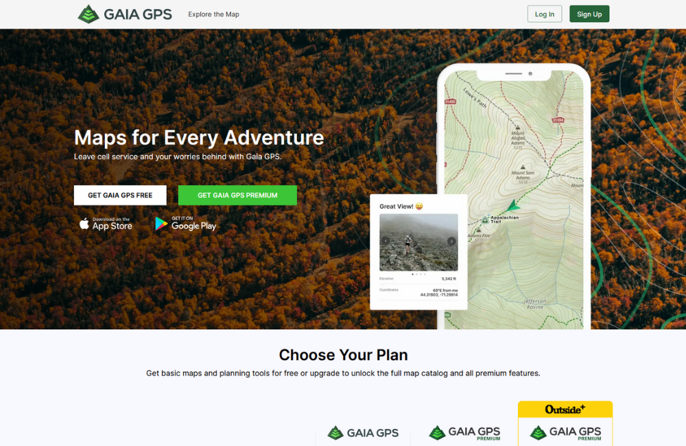
2. Gaia GPS
- Overview: A powerful mapping app with detailed topographic and satellite maps.
- Features: Offline map access, customisable overlays, weather updates.
- Best For: Off-the-beaten-path explorers who need advanced mapping capabilities.
If you’re going to explore, Gaia GPS is the go-to app. This app is excellent for explorers who crave the thrill of venturing off the beaten path.
Its detailed topographic and satellite maps are perfect for navigating wild terrains where typical apps fall short.
My favourite feature?
I love that it offers customisable overlays, letting you tailor the map to your specific needs—whether you’re tracking elevation gains or scouting hidden streams.
Plus, the offline map feature means you can rely on it even in the most remote spots, far from cell towers.
If your adventures take you beyond the best hikes in the world, Gaia GPS will guide you with precision and confidence.

3. Komoot
- Overview: Known for its detailed route planning and local trail recommendations.
- Features: Highlights points of interest, voice navigation, weather integration.
- Best For: Those seeking both cycling and hiking options, with a focus on scenic and efficient routes.
Komoot is an adventure planner’s dream, ideal for those who love both hiking and cycling.
Its detailed route planning makes it easy to find scenic trails that are both efficient and stunning—like having a local guide point you to the best spots.
I appreciate how it highlights points of interest along the way, turning every outing into a discovery.
My pro tip: Make sure you have the best camera for hiking to capture those memories.
The voice navigation is a lifesaver too, letting you keep your eyes on the trail instead of your phone.
Whether you’re out for a brisk hike or an epic cycling journey, Komoot helps you get there smoothly and enjoy every moment.
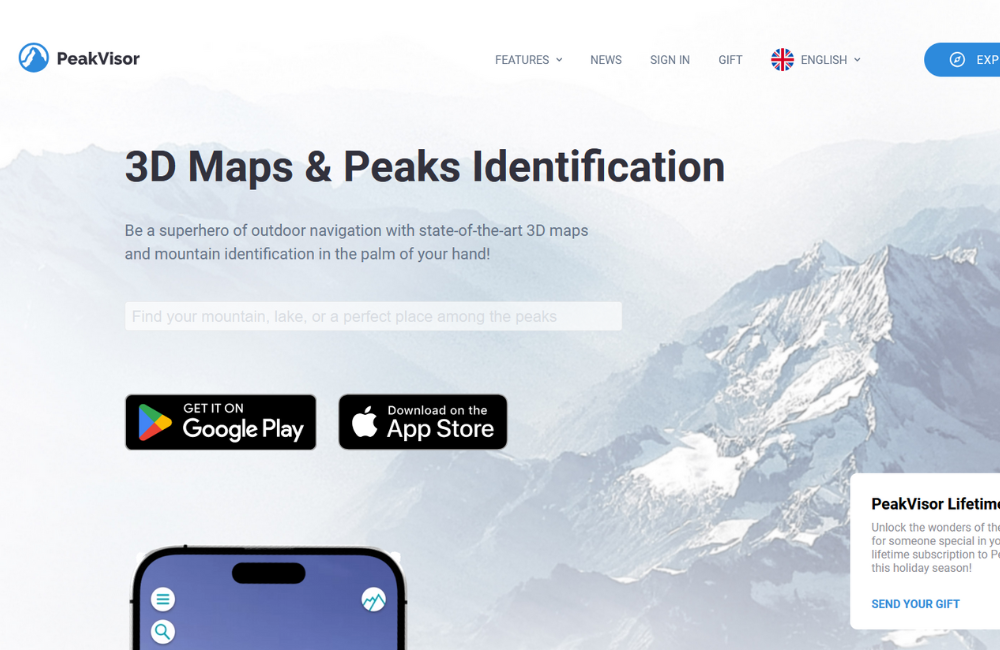
4. PeakVisor
- Overview: A unique app that identifies mountain peaks in real time using your camera.
- Features: 3D terrain maps, offline peak identification, augmented reality.
- Best For: Hikers in mountainous regions looking to identify peaks and explore surrounding landmarks.
PeakVisor is the ultimate companion for anyone curious about the mountains around them. It’s like magic—just point your camera, and it identifies nearby peaks in real-time.
I love how it brings the landscape to life with its 3D terrain maps and augmented reality features, making every hike more interactive and informative.
The offline peak identification is perfect for those remote areas where the view is epic, but the signal is nonexistent.
If you’ve ever found yourself wondering what that majestic mountain in the distance is called, PeakVisor is the app you need to bring your adventure into sharper focus.
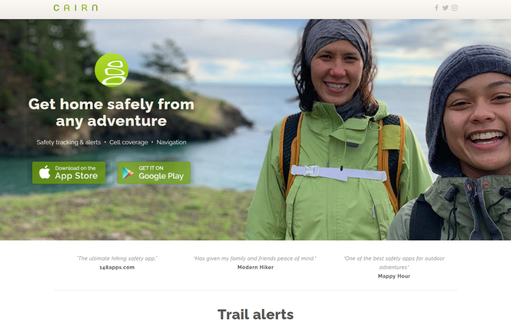
5. Cairn
- Overview: A safety-focused app that tracks your route and helps with emergency contacts.
- Features: Cell coverage maps, safety notifications, GPS tracking.
- Best For: Solo hikers and those in remote areas who prioritise safety.
Cairn is a must-have app for hikers who put safety first, especially those heading out solo or into remote areas.
My pro tip: Combine Cairn with these backpacking tips for ultimate safety.
What makes Cairn so invaluable is its ability to track your route and share your progress with emergency contacts, giving both you and your loved ones peace of mind.
The cell coverage maps are a lifesaver when you need to find a signal, and the safety notifications make sure someone knows if you haven't checked in on time.
It’s like having a digital safety net—one that lets you embrace the adventure without unnecessary worry.
6. Spyglass
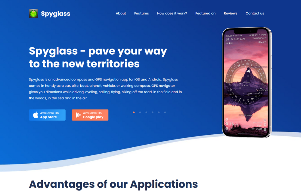
- Overview: A high-tech app with compass, GPS, augmented reality, and star navigation.
- Features: Offline maps, augmented reality, advanced navigation tools.
- Best For: Adventurers interested in unique features beyond basic navigation.
Spyglass is the perfect app for adventurers who want more than just a basic map—it’s like having a Swiss Army knife of navigation in your pocket.
With a compass, GPS, augmented reality, and even star navigation, it offers an impressive array of tools to explore the wild.
Offline maps make sure you're covered even when your journey takes you off the grid, while the AR feature adds a futuristic twist to your hikes.
It’s ideal for anyone who wants to navigate like a pro and add a touch of sci-fi flair to their outdoor adventures. Spyglass is definitely on my backpacker checklist!
7. Offline Survival Manual
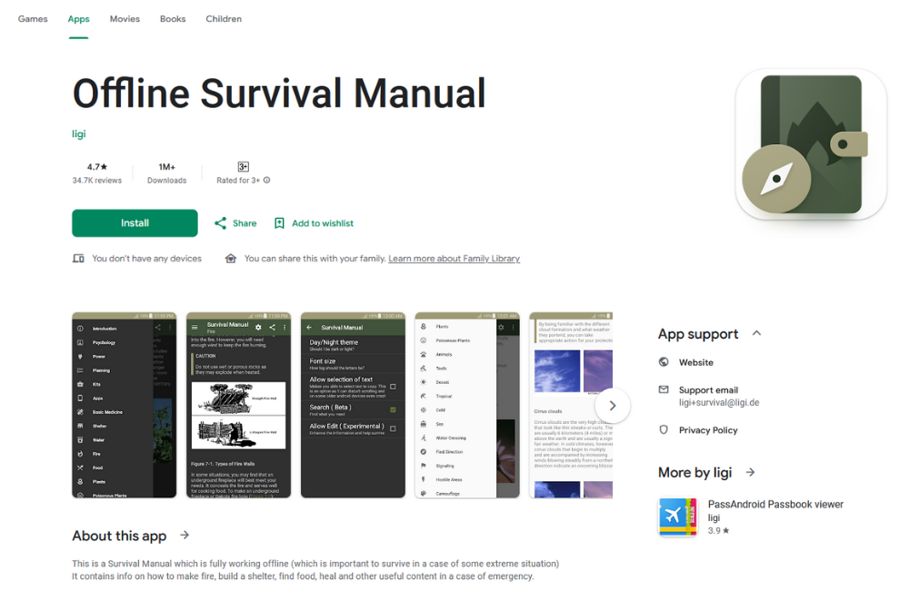
- Overview: A comprehensive app focused on outdoor survival skills, covering everything from building shelters to finding food.
- Features: Offline access, detailed survival guides, emergency tips, and first aid advice.
- Best For: Hikers and campers looking for a safety net of survival skills when technology fails.
Offline Survival Manual is your go-to companion when you need more than just maps—you need to know how to stay safe in the wilderness.
With offline access to a wealth of survival information, from making fires to treating injuries, it's like having an outdoor survival guide right in your back pocket.
The best part? You don't need cell service to use it.
Whether you’re a novice camper or an experienced trekker, this app can give you the confidence to handle unexpected situations when you're miles away from civilisation.
8. Hiking Project
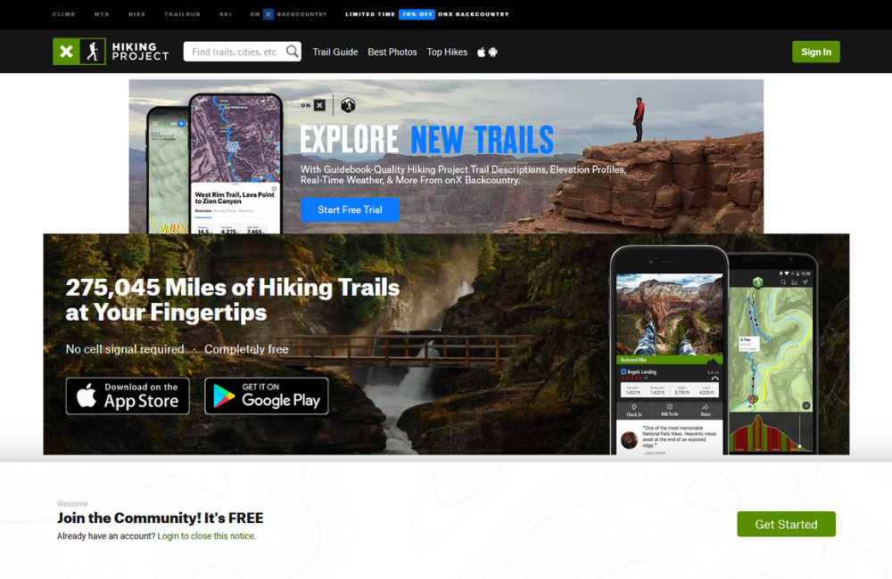
- Overview: A community-driven hiking app with detailed trail maps and user-generated insights.
- Features: Trail difficulty ratings, GPS tracking, offline maps, community reviews.
- Best For: Hikers who want a collaborative trail experience filled with real insights from other hikers.
Hiking Project stands out by offering a community-driven approach to finding and navigating trails.
With trail maps contributed by users and filled with real-life insights, it feels like you’ve got an entire community helping you plan your hike.
I especially love the difficulty ratings and detailed descriptions, which make it easy to match the trail to your skill level.
The offline maps and GPS tracking are great for staying on course even when you’re off-grid.
If you love hiking with the benefit of shared experiences and advice, Hiking Project is an excellent tool to have on hand.
9. Avenza Maps
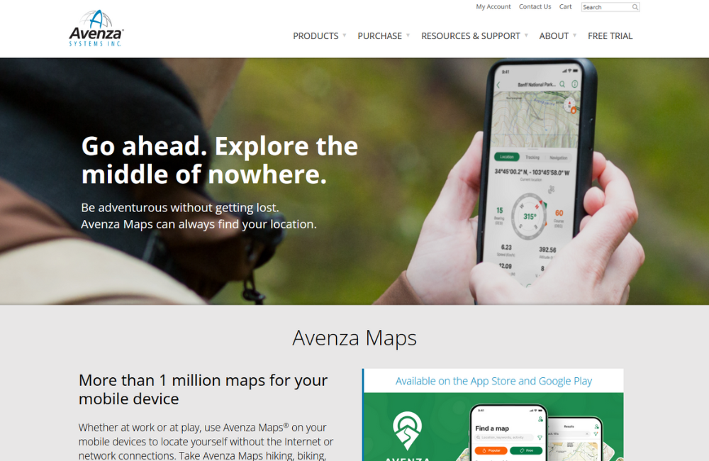
- Overview: A robust app providing offline maps using detailed, high-quality cartography, perfect for off-grid adventures.
- Features: Offline topographic maps, GPS location, custom map imports, map annotations.
- Best For: Hikers and explorers needing offline, reliable, high-detail maps with custom features.
Avenza Maps is an exceptional choice for hikers who prefer navigating with professional-grade maps, especially when out of network range.
What makes it stand out is the ability to download high-quality topographic maps that work entirely offline—no data needed.
I love that you can import custom maps and even annotate them, marking up your own notes for unique landmarks, camping spots, or points of interest.
It’s like blending modern tech with the traditional feel of using a map, and it's a lifesaver when trails are unmarked or unclear.
If you like the flexibility of custom features along with the reliability of offline maps, Avenza Maps is a fantastic tool for your essential camping gear.

My Final Thoughts
And there you have it: No matter what kind of hiker you are, the best hiking apps can make your adventures safer, smoother, and far more enjoyable.
From top-notch navigation and safety tools to fitness tracking and scenic route suggestions, these apps bring a whole new level of excitement and confidence to your hiking experience.
So before your next big adventure, make sure your phone is loaded up with the apps that suit your style, and get ready to explore with confidence!

