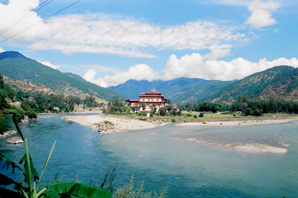
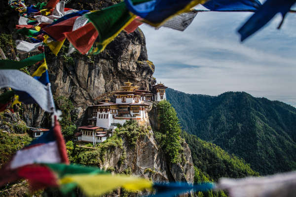
The amazing kingdom of Bhutan boasts some of the worlds most beautiful and breath taking treks. They range from the arduous Snowman Trek (which fewer people have completed than have ascended Everest) to the Druk Path Trek, a trek that offers a great introduction to hiking in Bhutan.
On this page, you will find a comprehensive and impartial guide to the Druk Path Trek in Bhutan.
Druk Path Hike
The Druk Path trek leads from Paro to Thimphu. The map below shows the regions of Bhutan. The Druk Path follows well-trodden trails in the west of the country.

Druk Path Itinerary
As with most Bhutan Treks, the starting point of the 6-day Druk Path Trek is the gateway to the Happy Kingdom – Paro. This is mostly due to the fact that it’s home to one of the only airports in the country, unless you want to take a bus through India as there are no trains operating in Bhutan.
Below is a detailed outline of a typical Druk Path Trek itinerary, split up over several days.
Day 1: Paro to Jela Dzong
- Ascent: 1,003m
- Descent: 10m
- Camp Altitude: 3,480m
- Distance: 10km
- Time: 4-5 hours
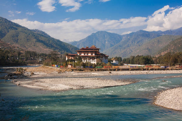
After what should be a spectacular flight (due to the views of the mountains you’re seeing), you should be heading out towards one of the most prominent and awe-inspiring building structures in Bhutan, a Dzong. These ancient buildings had many uses to the Bhutnanese. Some were places of worship, some housed important members of state and others were used in the defence of the kingdom.
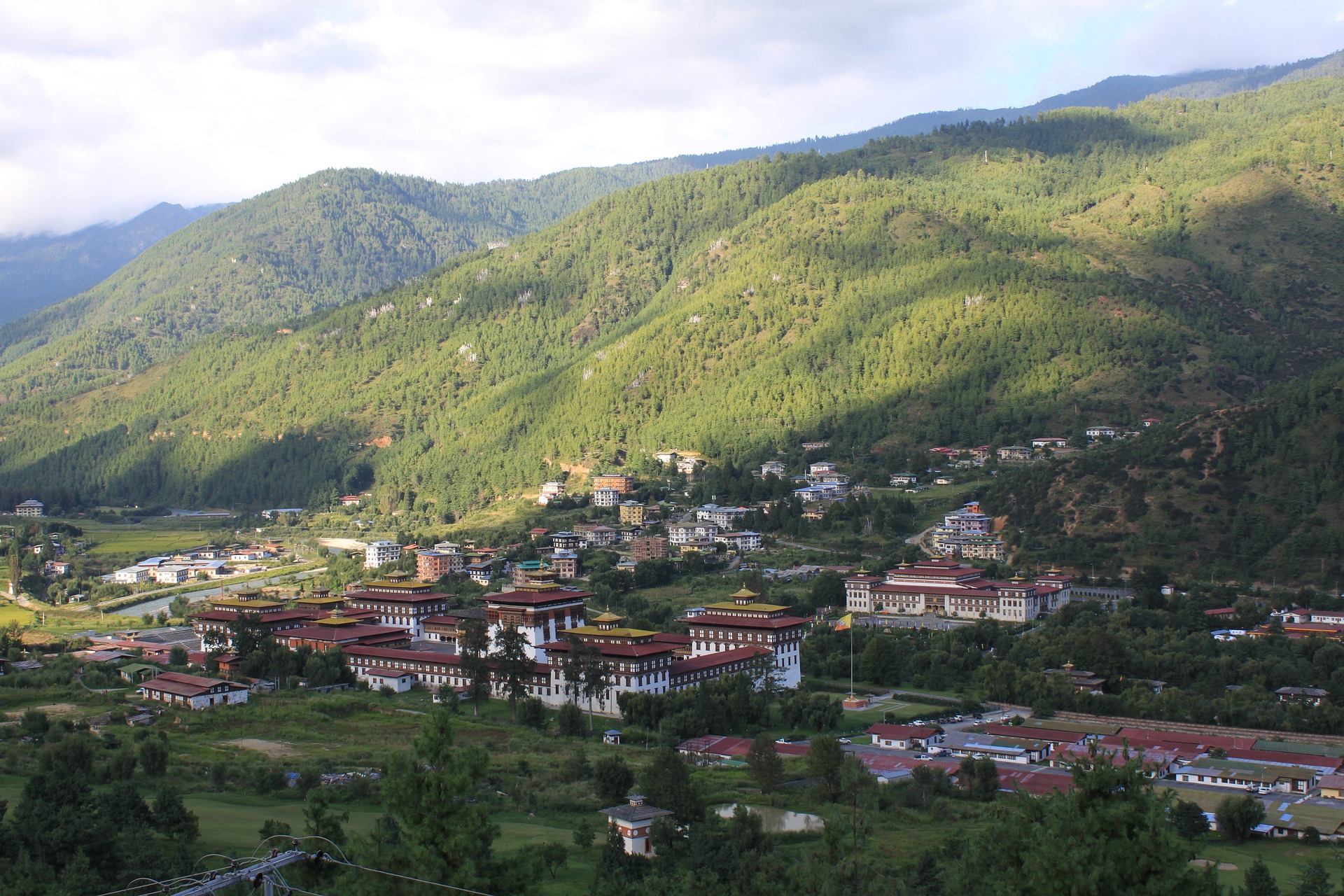
Paro Dzong sits at 2300m and just below it is Ta Dzong, the Bhutnaese National Museum. Depending on the time of your departure, a quick tour of the muesem is a necessity in taking in the vast amounts of history within Bhutan.
After taking in all your history notes, an easy day of trekking lies ahead. Apples Orchards (don’t pick any!), outskirts of Damchena Village and the wonderful serene pine forests of Bhutan are just some of the landmarks of the day. If you’re lucky with the weather – you might just be able to see Mt. Jomolhari.

Day 2: Jele Dzong to Jangchulakha
- Ascent: 300m
- Camp Altitude: 3,780m
- Distance: 10km
- Time: 4 hours
A ridgeline descent into rhododendrons and alpine forests is your start to the day. Yak herders roam these parts, and a tip of the hat won’t go amiss. Views of Kitchu Drake and Jomolhari dot the sky during the day and by night a pasture against the hillside shall be your home.
Day 3: Jangchulakha to Jimilangtsho Lake
- Ascent: 400m
- Descent: 300m
- Camp Altitude: 3,880m
- Distance: 11km
- Time: 4-5 hours
Whereas your first two days were spent in alpine splendor, the third day of the trek ushers you out onto the open plains of the Bhutnases countryside. Wild onions laden the fields around you and if you’re lucky enough to have some Masterchefs on your group – most of these will turn up in your dinner.
But first, you’ll have to reach Jangchu La (3800m) with its panromaic views of the valleys below and the Himalayn Peaks and your destination for the day – Jimilangtsho Lake. There is a tale that farmers bring their cows to the lake in hopes to mate it with a mystical ox providing them with strong offspring.
Day 4: Jiminlangstho to Simkota
- Ascent: 270 m
- Camp Altitude: 4,110m
- Distance: 11km
- Time: 4 hours
Dawn greets you with more good trails, bypassing Lake Janetsho, and delivering epic views of the Himalaya’s. At 4,110m – Lake Simkotatsho rests serine below you and camp is setup on a nearby yak pasture overlooking the deep valleys of the Himalayas.
Day 5: Simkota to Thimpu City
- Ascent: 100m
- Descent: 1,800m
- Distance: 14km
- Time: 7 hours
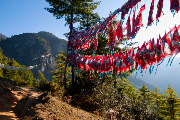
A long last day of trekking – starting with a small saddle climp at 4,150m then onto Phumela Pass (4210m) with it’s array of prayer flags and stone cairns set with a backdrop of Gangar Puensum, the world’s highest unclimbed mountain.
Down below is Thimpu and several sacred peaks which are used for sky burials, an ancient funreal practice in which a human corpse is placed upon a mountaintop to slowly decompose while exposed to nature. Although sounding macarb, it is considered an act of generosity on the part of the deceased, since the deceased and her/his realtives are providing food to sustain living beings.
After that. All downhill. Descending through Juniper Trees via a small community at Phajodhing, you’ll finally reach the road at Sangaygang, where a car most likely will take you to Thimpu.
From Thimpu, there are a variety of day trips (via vehicles) to other walks around the valley. But if you’ve had your fill of walking – you’re mostly likely going to make your way back to Paro.
Druk Path Trek FAQ
When is the best time to complete the Druk Path Trek?
The months with the lowest rainfall are from June to mid October, making this period the best time to complete the Druk Path Trek. Bhutan has one of the highest rainfall statistics in the world and there will almost definitely be rain on one of the days of the trek.
How difficult is the Druk Path Trek?
The Druk Path Trek is not very taxing, but still requires you to be adequately prepared and fit for trekking. It’s also a necessity that you be prepared for high altitudes as a failure to do so could land in you hot water and having to call out the lone Bhutanese Mountain Helicopter to come pull you out.
Is altitude sickness a risk?
Yes. The Druk Path trek ascends to over 4,000m. Therefore, it is important to have an understanding of the altitude risks involved with this trek.
Please read our detailed section on altitude sickness and acclimatization.
How much does the Druk Path Trek cost?
Druk Path Trek costs between $2500 to $4000. The higher the price, the more luxuries en route. This includes the Government royalty fee, which is very steep.
Are permits required for the Druk Path Trek?
You don't need a permit for the Druk Path Trek, but you do need a visa for entering Bhutan in order to complete the trek.
There used to be lots of regulations with regards to tourists in Bhutan, but in the last couple of years, this has eased up considerably.
Nowadays, all you need is a visa – which are processed by a licensed Bhutanese tour operator or a foreign travel agent, and cost around $40.
What gear do I need for the Druk Path?
Pack light and efficiently for the Druk Path. This is your basic mantra when packing. You'll need layered clothing, and it’s best to source quick drying materials wherever possible.
To help you plan and prepare for your trek, we have written a detailed hiking gear list designed for multi-day treks.
What travel insurance do I need for the Druk Path?
Most travel insurance does cover the maximum height faced on the Druk Path Trek. Make sure you check with your insurance provider that the exact heights are covered and you’re not a few metres short.
Are there other trekking routes through Bhutan?
Definitely. The Chomolhari Trek isn't the only trekking route that offers unforgettable sights and first-hand experience of Bhutanese culture.
We highly recommend the Snowman Trek, the Jomolhari Trek and the Tiger's Nest Trek which leads to Paro Taktsang, the world-famous Buddhist monastery.
Do you recommend any guides or guidebooks for the Druk Path Trek?
Absolutely. Like most treks in Bhutan, routes can be very intricate and even when they are not, it’s still advised to join a guide or a tour in case of getting lost.
Most amenities aren’t readily available as soon as you set out of Paro and if you compound this with injuries on the route, there is no question you should have company whilst attempting the trek.
For a detailed Bhutan guide, we recommend the Bhutan Lonely Planet.
Continue browsing...
See more information on Bhutan. Or check out these other Bhutan Hiking articles:

